Introduction
For the last 3 years of my PhD, I have had the great opportunity to work as a postgraduate teaching assistant on many undergraduate and master’s modules. By far the most exciting type of projects I have worked on are the field courses, both regionally (e.g., to the BIFoR FACE experiment) and internationally (eg to Berlin). The most notable of these, and my favourite trip, is the 2nd year undergraduate field course to the Alpine region of Switzerland.
This trip takes place in the Valais canton in Switzerland and is run by my supervisor (which is an added benefit of going on these trips!). The purpose of the trip is to expose students to alpine fieldwork, study glaciers, snow, and other phenomena.
This trip typically lasts around a week and allowed me to explore working in new and exciting conditions, improve my teaching assistant abilities, and explore an amazing and interesting country in Switzerland! In this post I’ll talk about the structure of the trip, the nature of the fieldwork, share some pictures and interesting facts about the location, and my experience going to the Alps for the first (and second and third!) time. If you would like to see more photos from the trip not included in this post, you can check them out here.
Switzerland
Before talking about the field course specifically, though, I want to first talk about the country of Switzerland directly.
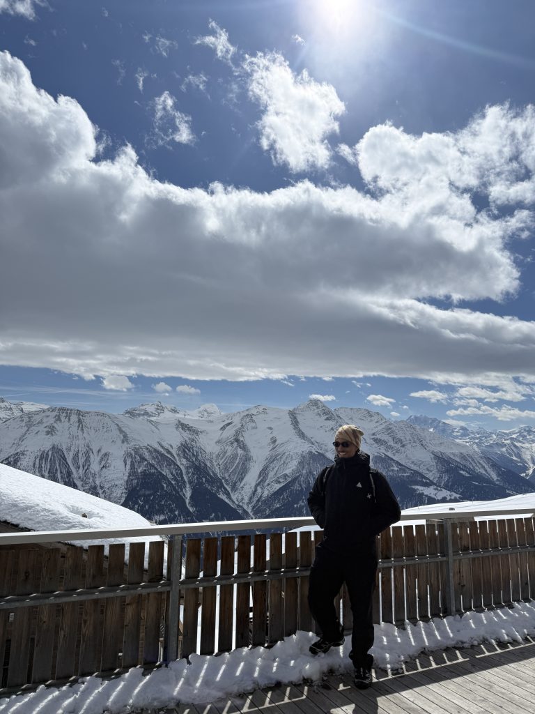
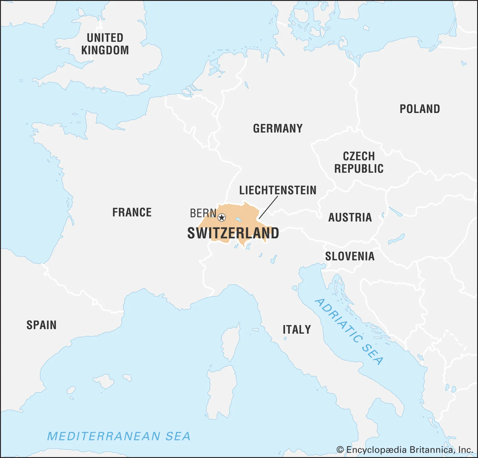
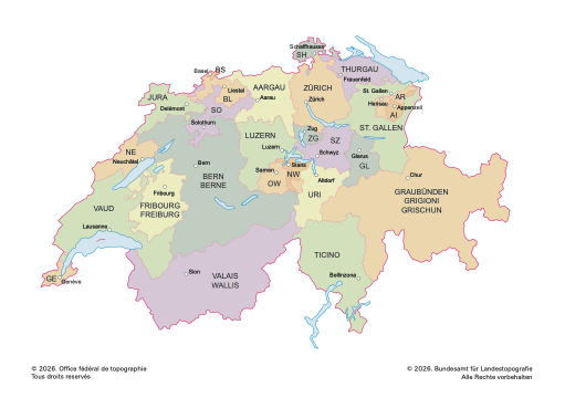
Switzerland is a landlocked European country bordered by four countries. It is made up of 26 cantons (regions within the country) and is home to some of the most beautiful nature and scenery in the world. Switzerland is a mountainours region and is home to lots of lakes, villages, and landmarks. It is also home to lots of bunkers and has a varied and interesting history. It is also one of the fastest warming countries in the world and is melting.
Four official languages are spoken, German, French, Italian, and Romanish, and there are lots of cultural and regional differences throughout the country that make it an incredibly interesting place to be and one of my favourite places I’ve travelled to.
Field trip details
Aims of the trip
The fieldwork is focused on giving undergraduate students the opportunity to learn about alpine environments and processes in a hands-on way, and the main aims are:
- To get an overview of some of the main environmental processes in cold and mountain alpine environments, their hazards, their relevance for downstream regions, and the impact of environmental and anthropogenic changes
- To be introduced to the basics of glacier formation and what controls their balance
- To learn the controlling processes on snow accumulation and melt
- To consider implications of these processes for hazards, water resources, ecosystems, etc
- To understand the generation of alpine hazards, including avalanches but especially debris flows
- To consider the implications of environmental change on mountain environments.
Locations
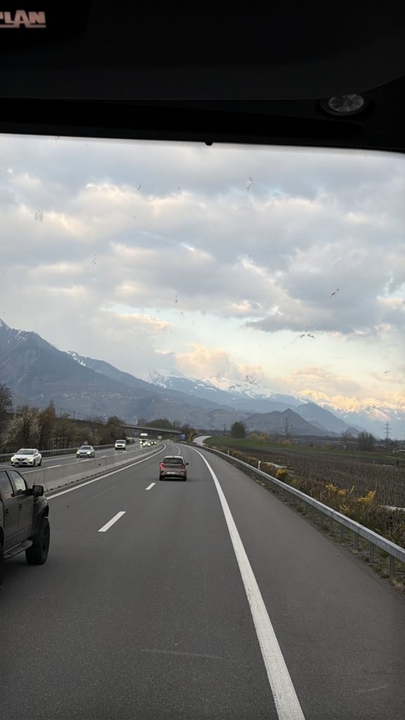
The trip involved two distinct phases and locations. To start the trip off, we travelled from Birmingham to Geneva and then from there up to the region of Fiesch, which is home to the Aletsch glacier.
In this iteration of the trip, we spent the duration of the trip in one location and travelled to the various study sites by train, though in previous years the trip was split into multiple locations during the week. This year we stayed in the Fiesch sports resort.
Day 1 – Digging snow pits and collecting data
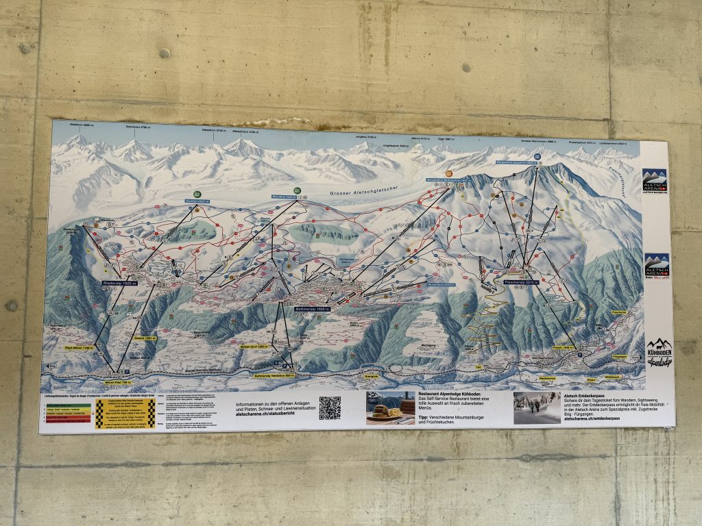
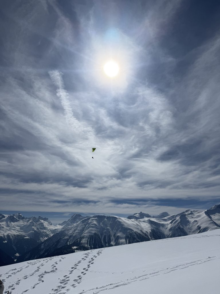
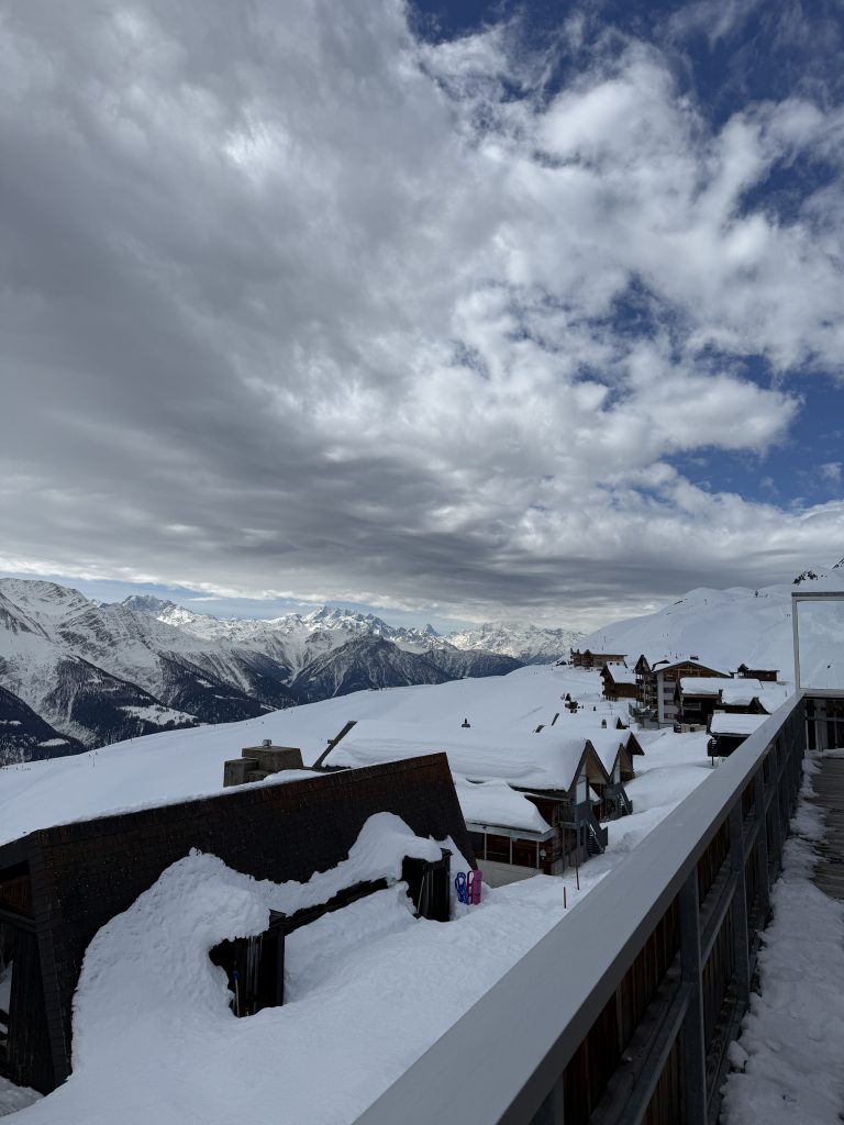
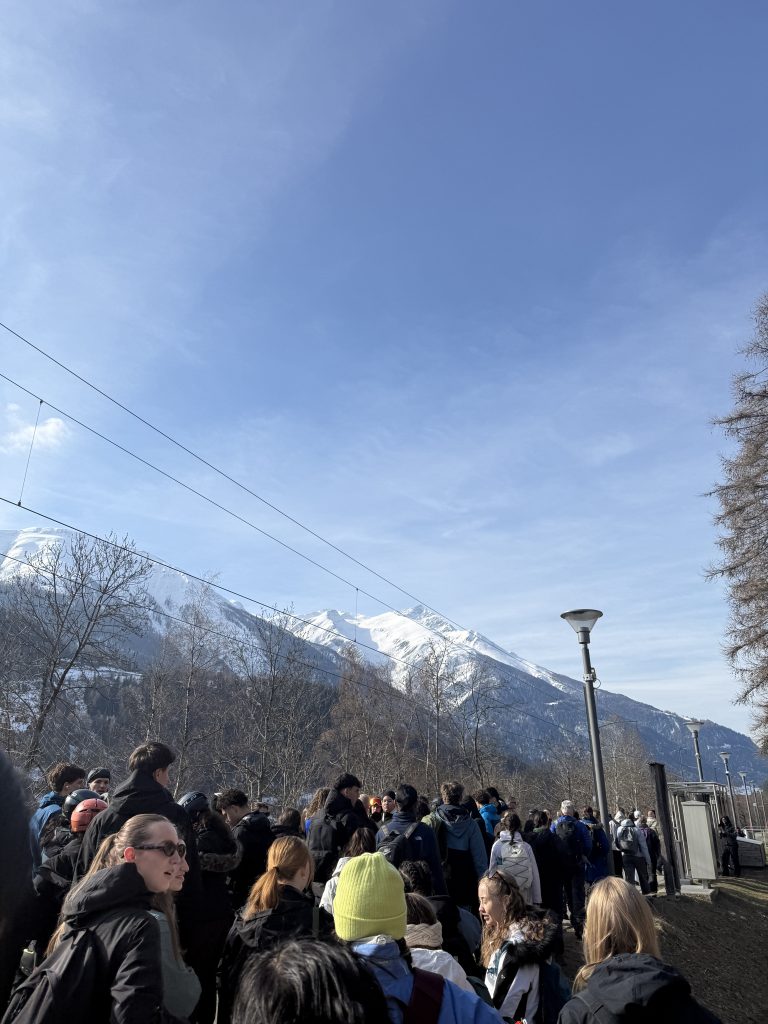
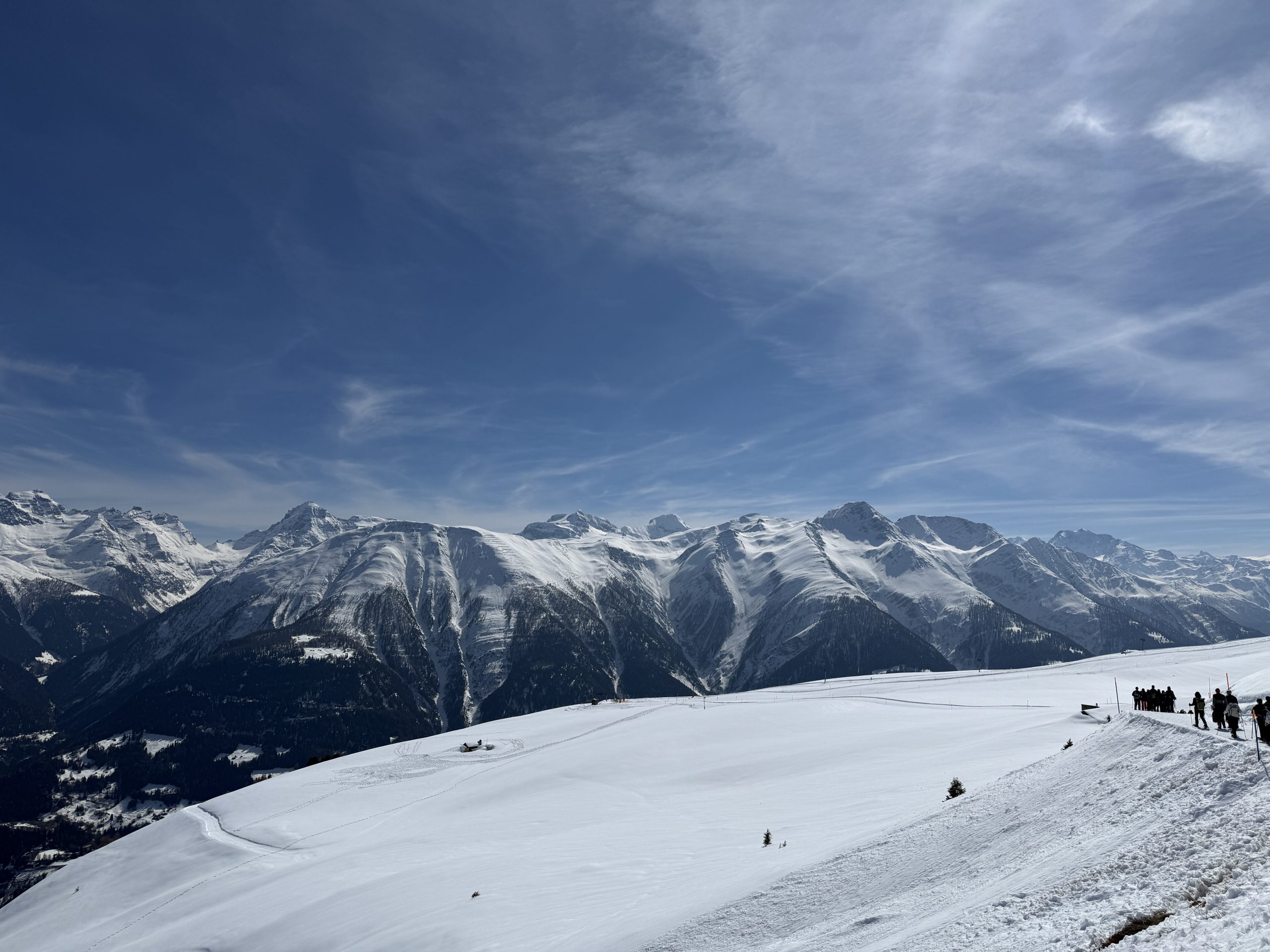
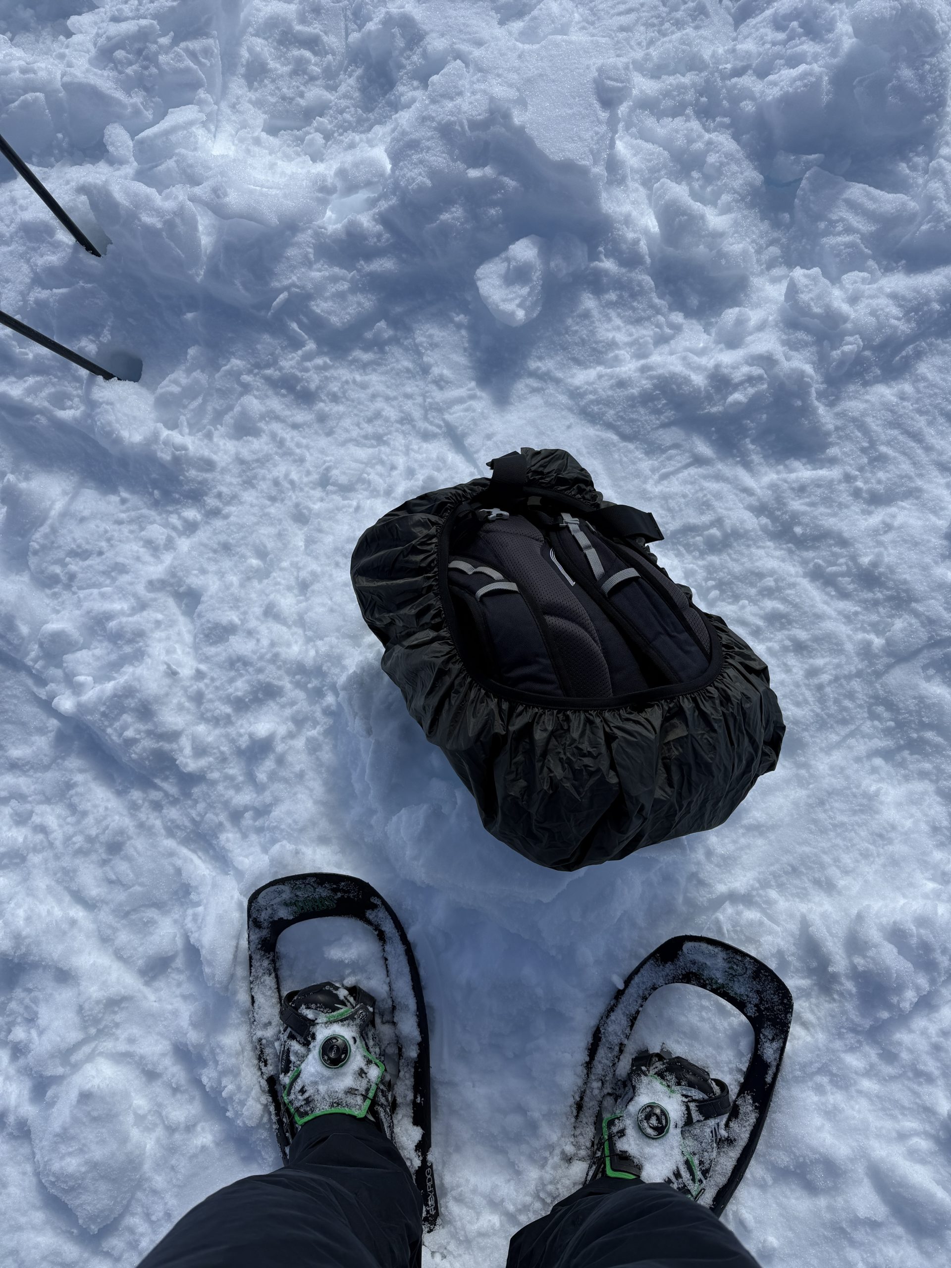
The first couple of days of the trip are by far my favourite as this is where we get to go up the mountain and study alpine phenomena directly in the snow. Taking the train from our accommodation, we travel one stop to the ski resort and take the gondola up to about 2000m.
Skiers and vacationers are everywhere, but we bypass all of them and head onto a plateau of snow off to the side of one of the ski tracks. Here the module leads give an introduction and demonstration of the equipment and methods the students will be doing, and divide them into groups, each supervised by either a teaching assistant like myself or by one of the lecturers. For this portion of the trip, we are usually accompanied by a snow water expert from the University of Bristol, so he looks after one of the groups as well.
From here the students get to work and organise various tasks amongst themselves. Over the first two days they need to collect a certain amount of data to complete the first of their assignments and this includes digging 2-3 snow pits of around 1.5-2m each, collecting snow depth, volume, density, thickness, and water content data, collecting around 100 measurements of snow depth and their geogrpahical coordinates in order to calculate how much water is stored on the snow pack, and the overall snow water equivalent of the snow.
In the evening, Ross, the visiting lecturer, gives a lecture on his work and the work done by the students during the day
Day 2 – Half day Aletsch glacier + final snow pits
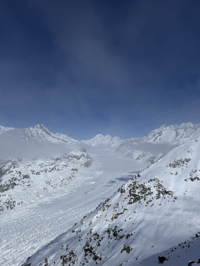
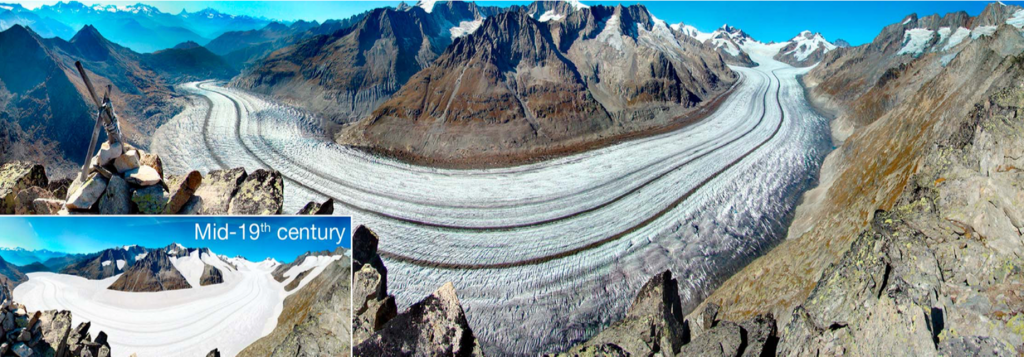
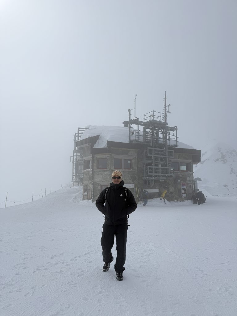
The second day is less labour intensive for the students, but there is still a lot of learning that takes place! The first half of this day involves taking the gondola up around 3000 metres up the mountain to the Aletsch glacier. Here the students are given a lecture about the glacier, its characteristics, and what it means for Switzerland’s water supply, as well as what glaciers mean in general for alpine communities.
The Aletsch Glacier is the largest glacier in the Alps – an area of almost 80 km² nd alone stores around one-fifth of Switzerland’s ice volume and is around 800 meters thick. It is a World Heritage Site and was designated as one in 2001. It has undergone a great deal of melting, however, due to climate change.
Day 3 - 2nd location: Illgraben catchment
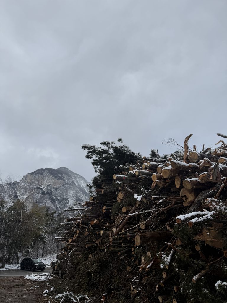
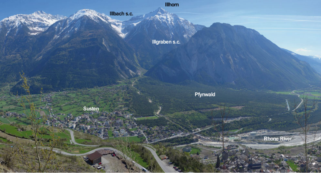
The third day of the field course sees us head out of the icy mountains and more into the forest and lowland areas of Switzerland, specifically the Illgraben catchment. This year was my favourite year visiting these areas as we were able to take the train through the mountains and it had been snowing overnight and snowed during the day. In previous years, we took a bus to a second accommodation and walked up to the study area, which is a lot less aesthetic!
Similar to the glacier work, here we were met by a scientist, Bryan, who is the head of the debris flow research group at the Swiss Federal Research Institute for Forest, Snow and Landscape Research. He has been researching the Illgraben catchment specifically for over 20 years.
The Illgraben catchment is one of the most active torrents in the European Alps, with between 2 and 7 debris flows or similar debris floods occurring every year since the start of systematic observations from 2000 to the present. The ultimate cause of the debris-flow activity is the presence of a variety of rock types, which have been substantially deformed and fractured due to tectonic processes.
After the initial tour of the catchment and learing about debris flows, we break for lunch and cross a bridge across the channel. This bridge was built as a joint project between the Bhutanese people and the Swiss. The bridge was opened in 2005 and inlcudes both a Christian cross and a Bhutanese Stupa to represent both culutrues. The bridge is 134 metres and corssing it is not for the faint of heart!
Day 4 - Leuk Charnel House
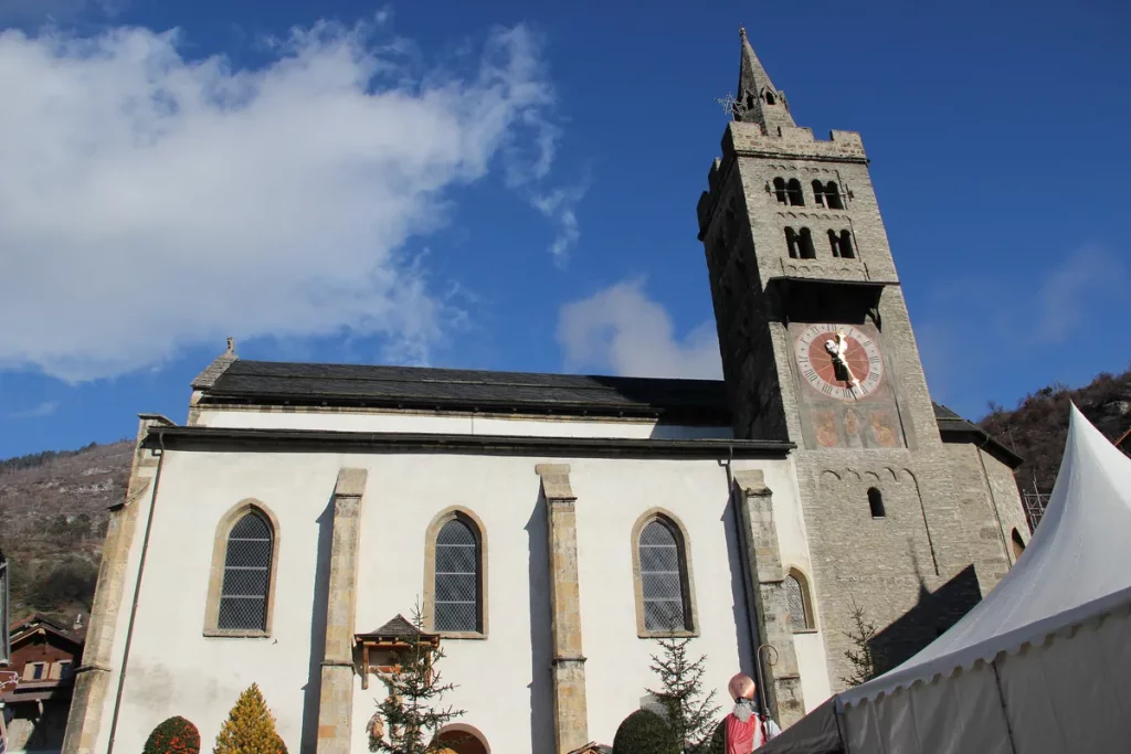
This part of the trip also held a little surprise for the students. After hiking up to the castle and having a lecture on the catchment and geological, environmental, and hydrological processes that are taking place within it, they were given free time to explore and encouraged to check out the church at the top of the hill. Here lies a wall of skulls for people who, as described on the official Leuk tourist page, there was no room for in the cemetery and not for people who died in plagues or wars, which is what I initially thought when I saw it.
Cool signs
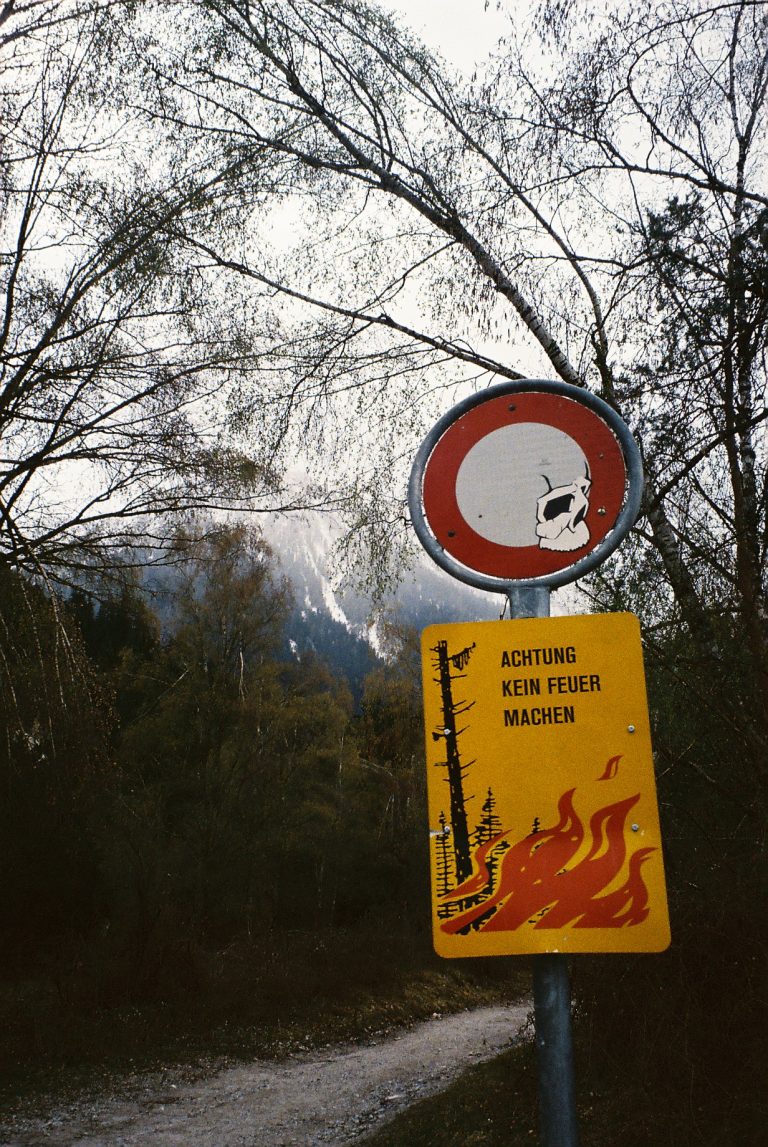
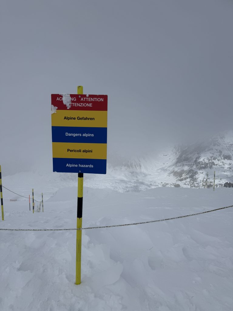
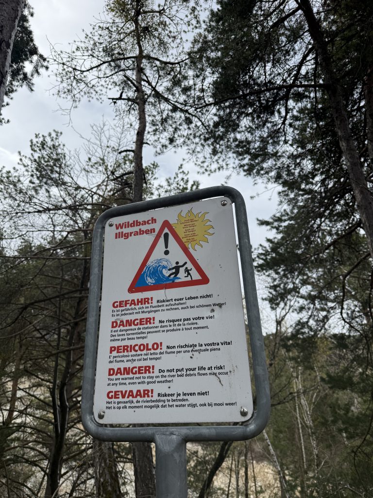
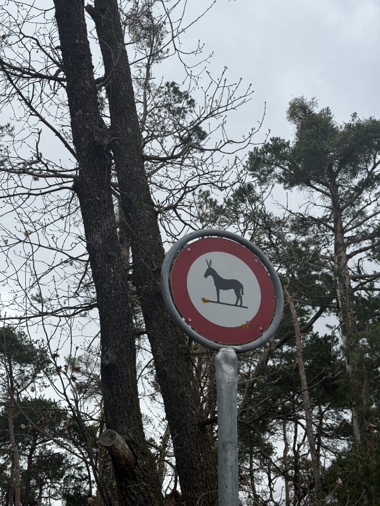
In addition to enjoying all of the scenic elements that Switzerland in the winter has to offer, I was also quite interested in the sheer number and variety of signs and how well designed they were. I found the attention to detail very interesting, particularly when they could have easily just made bland and boring signs. Very nerdy I know, but I thought I’d include some of my favourite ones here.


Conclusion
All in all, this is one of the best and most consistent experiences that I have been able to access as part of my studies, and it has exposed me to environments and ideas that aren’t really available to me in such a hands-on way as someone growing up and coming from Trinidad (there’s no snow in Trinidad!). With my interest in drones and remote sensing, and my newfound interest in alpine mountainous regions, there is now an entire new area of research for me to explore and potentially work on in the future. I’ve already started making inroads into this field and am expanding my knowledge in this area by doing some hands-on fieldwork/training in the Italian Alps. Definitely something I hope to do more of in the future!


